EWIS2
Funded by Bavarian State Ministry for Food, Agriculture, Forests and Tourism
We are conducting research in several funded projects. You can find more information about EWIS2 below. If you are interested in more details and discussions about our projects, do not hesitate to contact us.
For more information please contact Dominik Grimm.
Project Description
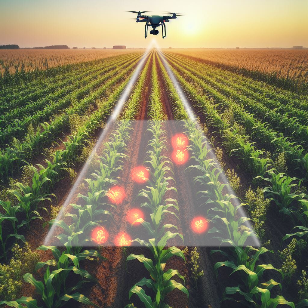
Sorghum and Maize are important energy crops in Bavaria, but their yield is often diminished by the growth of unwanted weeds. Precision Farming offers an unprecedented opportunity to automate and optimize processes in agriculture to manage weeds on agricultural fields more precisely based on their needs and lower the amount of pesticides. This could also minimize the risk of erosion of fields that are located on hills.
In this project we aim to generate high-precision weed density maps with the help of drone images and artificial intelligence. Moreover, based on this weed mapping, a profitability assessment is carried out for various options of site-specific weed management measures. Finally, these weed density maps will be integrated in different agricultural robots to perform mechanical weed management.
Results

During this project, we generated drone captures of 81 distinct agricultural maize and sorghum fields in 12 bavarian couties. This dataset has a total of 300 ha and spans 2 years. We employed two different drones: The DJI Mavic 3M and a M300 with a P1 sensor. The drone images resulted in a Ground Sampling Distance (GSD) of 0.3 cm/px, which was precise enough to see small weeds between maize plants in BBCH 13.
We re-framed the weed detection task as “plant detection with maize removal”. Here, we detect every green pixel with standard computer-vision algorithms, i.e. HSV-based thresholding or Excessive-Green-Index. The AI part focuses on detecting the maize plants, which were removed from all green pixels in a consecutive step.
Before training an AI-based maize detector, the ground-truth data was labeled by hand using bounding boxes. This endeavour took months and more than 5 employees. In the end, it yield over 200'000 annotated maize plants, which were used to train different object detection models.
The main bottleneck in AI-based weed detection is not the detection itself. It is the integration in the everyday life of farmers. Our models were able to detect maize in a variety of different agricultural settings and weather conditions. However, the process of geo-referencing drone images into an orthofoto took ages and was not feasible. Therefore, a method was adopted and further developed that allows individual drone images to be directly georeferenced and quickly processed into maps.
The entire process - from drone flights to map creation and integration of the maps into a field robot, all the way through to site-specific mechanical weed control - was successfully implemented on a Robotti 150D (Agrointelli).
Videos
During this project, 2 videos were produced, that capture the entire process. They can be viewed on youtube:
https://www.youtube.com/watch?v=jli1cdYpQ28
https://www.youtube.com/watch?v=XyFvBe4bY3Q
Project Information
Project title
Development and evaluation of weed application maps for the use of robots in mechanical weed control applications
Involved people in our team
- Project Coordinator: Prof. Dr. Dominik Grimm
- Project Advisor: Nikita Genze
Funding
Bayerisches Staatsministerium für Ernährung, Landwirtschaft, Forsten und Tourismus
Project partner
Jan Jänicke, Maria Vilsmeier, Michael Grieb, Technologie- und Förderzentrum TFZ
Vladyslav Pitsyk, Johanna Pfrombeck, Stefan Kopfinger, Markus Gandorfer, Bayerische Landesanstalt für Landwirtschaft (LfL), ILT 6, Arbeitsbereich Digitalisierung
Funding ID: G2/N/22/11
Publications
Manually annotated and curated Dataset of diverse Weed Species in Maize and Sorghum for Computer Vision
N Genze, WK Vahl, J Groth, M Wirth, M Grieb, DG Grimm
Scientific Data, 2024
(https://www.nature.com/articles/s41597-024-02945-6) [Data]
Improved weed segmentation in UAV imagery of sorghum fields with a combined deblurring segmentation model
N Genze, M Wirth, C Schreiner, R Ajekwe, M Grieb, DG Grimm
Plant Methods, Vol. 19, 87, 2023
(https://doi.org/10.1186/s13007-023-01060-8) [Code] [Data]
Deep Learning-based Early Weed Segmentation using Motion Blurred UAV Images of Sorghum Fields
N Genze, R Ajekwe, Z Güreli, F Haselbeck, M Grieb, DG Grimm
Computers and Electronics in Agriculture, 2022
(https://doi.org/10.1016/j.compag.2022.107388) [Code, Data]